Lesson 1.6: Maps and Storytelling Lesson
Learning Targets
I can use maps and geography to strengthen my storytelling.
I can use geographic and cultural vocabulary (terrain, topography, trade routes, cultural boundaries) to describe how landscape shapes the stories and traditions of a place.

Triggering Event
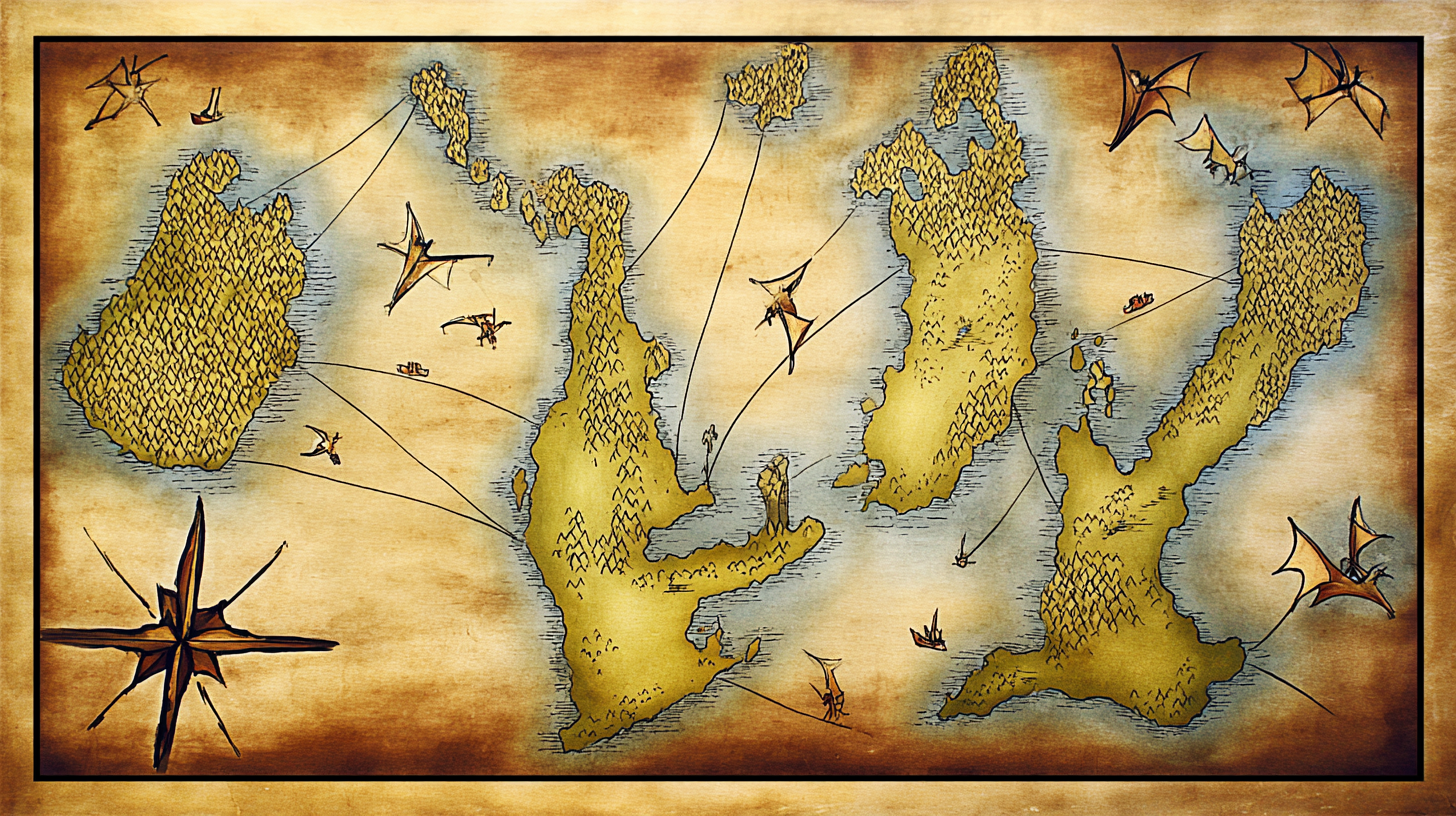
Look at a map of your state or country. Now look at where cities are. They're almost always near water — rivers, coasts, harbors. That's not random. Geography shapes where people live, how they travel, what they eat, who they trade with, and who they fight. Fantasy maps work the same way. A mountain range isn't just a cool drawing — it's a barrier that divides cultures, forces trade routes through specific passes, and creates isolated communities with unique traditions. When you draw a map, you're not decorating your world — you're building its story.
Geography Tells Stories
Every geographic feature creates narrative possibilities. Rivers connect and divide. Mountains isolate. Deserts filter who can travel through them. Coastlines invite trade and piracy. Forests hide things. The relationship between geography and culture is one of the oldest stories in human history — and it's the engine of fantasy world-building.
Think about what happens in your region when a mountain range splits the land. One side might develop a sea-faring merchant culture, while the other side becomes shepherds and farmers with no access to the ocean. They speak different languages, worship different gods, and view the mountain range either as a protective boundary or an isolating wall. That tension, that difference, creates conflict and story. A river creates trade routes, which means different communities meet, exchange goods, fall in love, go to war. A desert isn't just empty space — it's a filter. Only hardy people and essential goods cross deserts. That changes everything about who has power, who survives, and what stories get told. Every landform is a decision about the story your world will contain.

Reading Fantasy Maps
A good fantasy map is not just pretty — it's a document that reveals power structures, relationships, and history. When you read a fantasy map, look beyond the physical features. The political boundaries show you who controls what. The location of settlements tells you where power concentrates. Trade routes reveal which communities are connected and which are isolated. Named versus unnamed areas show you what the mapmaker — and the characters who live in this world — consider important or unknown. Scale matters, too. A map that shows a continent versus a map that shows a single province tells completely different stories. And blank spaces are invitations. Every unexplored region on a fantasy map is an opening for adventure, mystery, and the unknown.
One of the most important examples: Tolkien drew Middle-earth's map before writing most of The Lord of the Rings. He didn't draw it as decoration. He drew it to understand how the geography would force the plot. Where the mountain ranges were determined whether armies could cross. The position of forests determined whether people could hide. The distance between settlements determined how long the journey would take. The map wasn't background to the story — it was the engine of the story.
Making Your Own Map
When you create a map for your fantasy world, start with this process: First, draw geography. Decide where landforms go — mountains, rivers, coastlines, forests, deserts. Don't just scatter them randomly. Think about what makes sense physically. Water flows downhill. Settlements cluster where geography makes it easy to live. Deserts form where weather patterns create them. Make the basic geography logical first.
Second, place settlements where geography makes sense. A city on a coast? It's probably a trading port. A village in a river valley? It's likely agricultural. A settlement high in the mountains? It's probably defensive, or mining-based, or a place people escape to. Your map should make readers think, "Oh, yes, of course that city is there — the geography practically demands it." Then draw routes connecting these settlements: trade roads, rivers, mountain passes. These routes should follow geographic logic. No one walks across a desert when there's a river valley nearby. Finally, add cultural markers. Borders that show which cultures claim which territory. Sacred sites. Danger zones. Ruins that hint at history. A good map raises questions that become stories. Why is that city so far from water? What happened to the ruins marked in the mountains? Who named this forest "the Weeping," and why? These are the questions that lead to your narrative.
Maps Across Cultures
Mapping traditions vary across cultures and across history. Indigenous peoples mapped territory using storytelling and markers in the landscape. Chinese cartographers focused on cultural and political centers rather than physical accuracy. Polynesian navigators created maps from memory and stars that would have seemed meaningless to a European mapmaker. Medieval European mapmakers included theological symbols and monsters in their maps alongside geography. All of these approaches were valid — they all reflected how the mapmakers understood and related to space. As you create your fantasy map, you don't have to follow Western cartographic conventions. Your map can be symbolic. It can be drawn from a character's perspective. It can include cultural knowledge that outsiders wouldn't understand. The most powerful maps reflect the values and perspectives of the people who made them.
Key Vocabulary
The Rule of Three Interesting Things
When creating any region for a story, include at least three interesting locations that could generate stories:
- One obvious destination — the city everyone knows about, the mountain everyone can see, the trading post where all roads converge
- One local curiosity — something the locals know about but outsiders don't: a hidden spring, a peculiar tradition, a ruin with a reputation
- One mystery — something no one fully understands: a forest that's larger on the inside than the outside, a tower with no door, a sound that comes from underground every full moon
This heuristic ensures your map is never boring. Even a simple region becomes interesting when it has something to visit, something to discover, and something to wonder about.
The Questions Geography Answers
| Geographic Feature | Questions It Raises |
|---|---|
| Coastline | Who controls the ports? What comes from across the sea? What threatens from the deep? |
| Capital Location | Why here? Defensibility? Trade crossroads? Historical significance? |
| Borders | Why do borders exist where they do? What happens at the edges? |
| Roads | Who built them? Who maintains them? What travels along them? |
| Wilderness | Why hasn't it been settled? What prevents expansion? What lives there? |
| Ruins | Who built this? Why was it abandoned? What remains? |
Scale Changes the Story
- World Maps establish scope and context. At this scale, you see continents, oceans, and the big picture — but individual people are invisible.
- Regional Maps are usually the most useful scale for storytelling. They're detailed enough for travel to be meaningful and broad enough for variety. This is the scale you'll use for your Region Creation assignment.
- Local Maps zoom in to individual buildings, rooms, and passages. At this scale, geography becomes architecture, and every doorway is a decision point.
Building Geography in Five Layers
Build your region's geography layer by layer, each one adding depth:
- Physical: Landforms, water, climate, terrain. The raw geography.
- Political: Borders, territories, who controls what. Power drawn on the map.
- Cultural: Where traditions live, where languages change, where customs differ. Identity drawn on the map.
- Historical: Old roads, ruins, battlefields, abandoned settlements. The past drawn on the map.
- Mysterious: Unexplored regions, forbidden zones, places with reputations. The unknown drawn on the map.
Each layer builds on the one before it. Start with physical geography, then ask: who claimed this land? Then: what cultures grew here? Then: what happened in the past? Then: what remains unknown? By the fifth layer, your map tells stories all by itself.
Sentence Frames for Practice
Use these frames when you're planning your region:
 Ethical World-Building
When you create a fantasy world, you make decisions about who lives where, who has resources, and who has power. These decisions mirror real-world patterns. As you plan your region, think critically: Am I reproducing colonial patterns where one civilization is portrayed as "advanced" while others are treated as "primitive"? Am I creating a world where different cultures have genuine agency and complexity? Ethical world-building means thinking about power — even in fiction. Your map is not neutral. Every choice you make reflects a perspective. Make those choices intentionally.

What's Next
You're ready to practice these ideas. In Activity 1.6.1: Geography Brainstorm , you'll plan the geography and cultural details of your own region. Then you'll complete Assignment 1.7: Region Creation , where you'll bring it all together into a complete fantasy world.